|
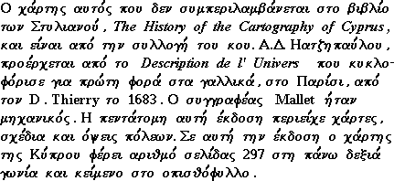
Alain Manesson MALLET , "Isles de Cypre" (140x98mm) page 297, Description de l' Univers , Paris 1683 . French . Coloured . |
|
This map , not recorded in the Stylianou book , The History of the Cartography of Cyprus , is included in the Description de l' Univers first published in French by D. Thierry in Paris in 1683 . The author , Mallet , was an engineer , and the book which was in five volumes contained maps , plans and city views . In the first edition , the map of Cyprus has a page number (297 in the top right corner) and text on verso . This map comes from the original plate . (see also Fig. 62 of the 1719 German edition for differences of the two plates) . |
|
![]()
|
|
|