|
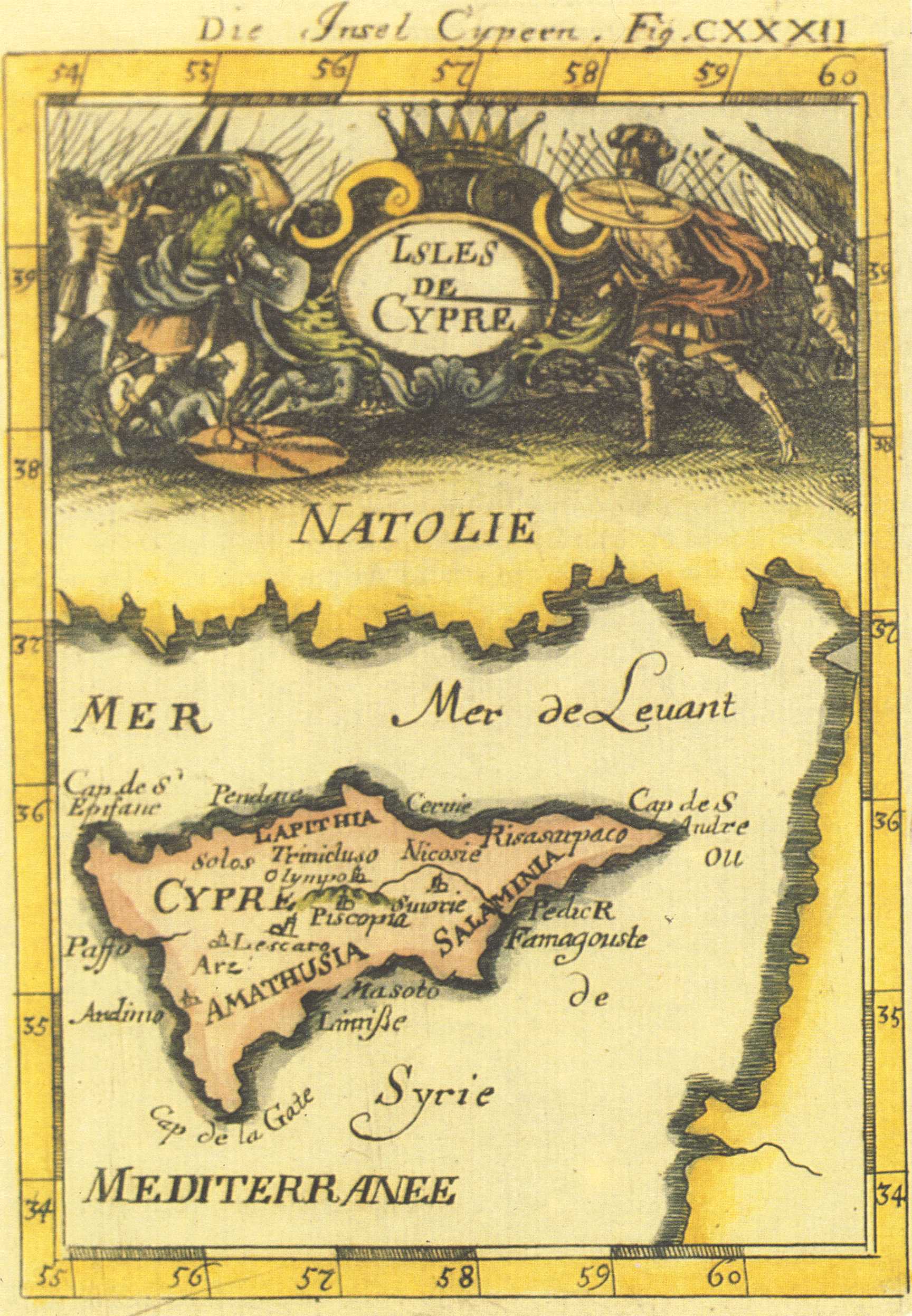
Alain Manesson MALLET , "Die Insel Cypern" - "Fig. CXXXII" (139x98mm) , Description de l' Univers , Frankfurt 1719 . German . Coloured . |
|
This map , not recorded in the Stylianou book , The History of the Cartography of Cyprus , is included in the Description de l' Univers first published in French by D. Thierry in Paris in 1683 . The author , Mallet , was an engineer , and the book which was in five volumes contained maps , plans and city views . In the first edition , the map of Cyprus has a page number (297) and text on verso . The present map comes from the German edition of 1719 entitled Beschreibung des ganzen Welt-Kreisses published by J.A. Jung . The maps of the German edition are copied on new plates from those of the French edition (see Fig. 62Haj) but have no text on verso . A figure number is written after the German title , "Die Insel Cypern", on the top right margin outside the borders of the map . |
|
![]()
|
|
|
